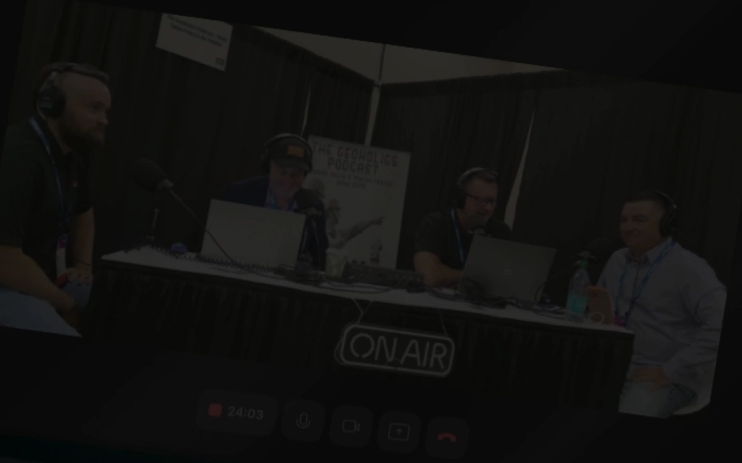
The Geoholics Podcast is a popular show dedicated to professionals in the surveying, geomatics, and geospatial industries. Hosted by a team of industry experts, including Kent Groh, PLS (Land Surveying), Sean Fabor, PE (Civil/Geotech), Dr. Nikolas Smilovsky (GIS), Mark Taylor (UAS/UAV), Russell Hall, PLS (Reality Capture) and William Wing RLS (Land Surveying), the podcast explores a wide range of topics related to land surveying, geospatial technology, engineering, and professional development. The show features interviews with thought leaders, discussions on the latest trends and technologies in the geospatial field, and insights into the challenges and opportunities facing professionals in the industry. It aims to educate, inspire, and connect people working in or interested in these fields. The Geoholics Podcast is known for its engaging and informative content, making complex topics accessible to both seasoned professionals and newcomers. It also emphasizes the importance of innovation, education, and inclusivity within the geospatial professions.

Connect with us
PODCAST
PODCAST
PODCAST

Listen on Spotify
PODCAST
PODCAST
PODCAST
Listen on Apple
YouTube
PODCAST
Subscribe to our YouTube Channel
Follow us on Instagram
Connect on LinkedIn
Join our Facebook Group
The Geoholics Playlist
The Geoholics Playlist
The Geoholics Playlist
Listen on Spotify
TikTok
The Geoholics Playlist
The Geoholics Playlist
Follow us on TikTok

May NOT be suitable for those easily offended.
ALLTERRA CENTRAL
ALLTERRA CENTRAL
ALLTERRA CENTRAL

PLS SPONSOR
CUSTOMER FOCUSED
At AllTerra, they listen to their customer's needs and offer the right solution at the best price.
They're here to help.
The technical support team is comprised of field-experienced surveyors and product experts. Call 866.565.4936
They have the latest technology.
They offer the highest-quality, cutting edge surveying, mapping and marine products in the industry.
EMLID
ALLTERRA CENTRAL
ALLTERRA CENTRAL
PLS SPONSOR
HIGH-PRECISION RTK GNSS RECEIVERS AND SOFTWARE FOR THE FIELD AND THE OFFICE
Emlid makes high-precision RTK GNSS receivers and software for the field and office. Built to provide centimeter-level positioning even in challenging conditions, Emlid Reach receivers are used for surveying, GIS, construction, drone mapping, and more. With offices in Portugal and Hungary, Emlid ships Reach receivers worldwide from its online store and from its official dealers.
DIAMONDBACK LAND SURVEYING
DIAMONDBACK LAND SURVEYING
DIAMONDBACK LAND SURVEYING
PLS SPONSOR
RESIDENTIAL, COMMERCIAL AND PUBLIC WORKS
We are dedicated to building and maintaining an excellent reputation. Diamondback Land Surveying, LLC provides complete surveying, mapping and construction staking solutions for residential, commercial and public works projects. Our survey teams take great pride in being professionals in all aspects of their work, and emphasize on-time service that maintains an excellent reputation in the construction and development communities by consistently providing top-notch services to our clients. Diamondback Land Surveying, LLC, survey crews utilize the most current technology including GPS, coupled with extensive local knowledge and experience.
We look forward to the opportunity of working with you!!
GEODNET
DIAMONDBACK LAND SURVEYING
DIAMONDBACK LAND SURVEYING
PLS SPONSOR
THE WORLD’S LARGEST RTK NETWORK
GEODNET is a web3.0 blockchain-based highly-reliable RTK Network using #DePIN principles. RTK (Real-Time Kinematics) enables a 100x improvement in position accuracy as compared to standalone GPS. GEODNET's global RTK Network naturally complements on-device sensors such as Cameras, LiDAR, and IMU's to power AI-based Autonomous Systems.
TRIMBLE GEOSPATIAL
TRIMBLE GEOSPATIAL
TRIMBLE GEOSPATIAL
LSIT SPONSOR
Trimble Geospatial provides solutions that allow you to make your mark using high-quality, productive workflows and information exchange, driving value for a global and diverse customer base of surveyors, engineering, and GIS service companies, governments, utilities, and transportation authorities. Trimble’s innovative technologies include integrated sensors, field applications, real-time communications, and office software for processing, modeling, and data analytics.
We’re pioneering the future of data intelligence, converging people, product, and place seamlessly to help you make your mark and leave your legacy.
HEXAGON
TRIMBLE GEOSPATIAL
TRIMBLE GEOSPATIAL
LSIT SPONSOR
Hexagon is the global leader in digital reality solutions, combining sensor, software and autonomous technologies. Our solutions free our customers to harness the rapidly-increasing amounts of data, putting it to work to boost efficiency, productivity, quality and safety across industrial, manufacturing, infrastructure, public sector and mobility applications.
ESRI
TRIMBLE GEOSPATIAL
ESRI
LSIT SPONSOR
Making the world's most powerful GIS software.
Esri is the global market leader in geographic information system (GIS) software, location intelligence, and mapping.
Since 1969, we have supported customers with geographic science and geospatial analytics, what we call The Science of Where.
We take a geographic approach to problem-solving, brought to life by modern GIS technology. We are committed to using science and technology to build a sustainable world.
DEA
GEOSEARCH
GEOSEARCH
LSIT SPONSOR
MAKE A POSITIVE DIFFERENCE WITH DEA.
Recognized as a leader in the design and management of complex transportation, land development, water resources, and energy projects nationwide.
Combining the talents of engineers, surveyors, planners, hydrographers, landscape architects, and natural resources scientists to provide their clients access to a complete range of services. DEA is consistently ranked among Engineering News Record’s Top 100 Pure Design firms in the U.S., and among leaders in many of their local markets.
GEOSEARCH
GEOSEARCH
GEOSEARCH
LSIT SPONSOR
GeoSearch is a premier recruitment company specializing in all facets of the Geospatial Industry, including GIS, Remote Sensing, Land Surveying, and more. Our mission is to connect talented individuals with exciting career opportunities in engineering, software, management, sales, marketing, and technical roles.
TOPODOT
GEOSEARCH
TOPODOT
LSIT SPONSOR
TopoDOT®
TopoDOT's services maximize the value of geospatial point cloud data across all operations active in the planning, design, engineering, construction and maintenance of the world’s transportation and civil infrastructure. TopoDOT digital twin production software achieves the industry’s highest levels of productivity and quality. TopoShare offers the industry’s most effective, lowest cost solution to geospatial data governance. And TopoDOT Consulting Services supports our user community to ensure the highest levels of productivity, quality and profit.
NETTLEMAN LAND CONSULTANTS INC.
NETTLEMAN LAND CONSULTANTS INC.
NETTLEMAN LAND CONSULTANTS INC.
LSIT SPONSOR
At NLC their focus is on preparing land survey students for a successful career in land surveying filled with life-long learning. NLC Prep provides various study tools and courses for NCEES FS, PS and state-specific land surveyor exams.
AEROTECH MAPPING
NETTLEMAN LAND CONSULTANTS INC.
NETTLEMAN LAND CONSULTANTS INC.
CST SPONSOR
AeroTech Mapping (ATM) has been supplying high-quality geospatial solutions, services, and support for the A/E/C industry since 2002. We’ve completed projects across the United States and abroad using the latest technology and resources, combined with a highly educated and experienced staff. Our mission is to bring our clients the highest quality geospatial products and services available.
We specialize in large-scale, design-level photogrammetry for a variety of sectors within the A/E/C industry including aviation, transportation, energy, commercial development, mining, public works, and water/wastewater, just to name a few.
Carlson Software
Carlson Software
Carlson Software
CST SPONSOR
OUR MISSION is to be the premiere independent developer of land surveying, civil engineering, construction and mining technology products. To maintain our reputation for technological innovation. To provide industry-leading customer service and support. To provide one-source technology solutions from data collection to design on through to construction.
Bad Elf
Carlson Software
Carlson Software
CST SPONSOR
Bad Elf envisions, designs, and manufactures niche hardware and software as it relates to data collection. They are changing the business model and quite frankly the world of GPS by planning to democratize it…meaning making it realistic for anyone and everyone to collect survey grade data. Bad Elf is “engineering magic”
GEOVERRA
Carlson Software
GEOVERRA
CST SPONSOR
GeoVerra is one of Canada’s largest geomatics firms, providing land surveying, mapping, forestry, environmental, and geospatial solutions across the country. With roots in the industry that stretch back over 100 years, we continue to evolve and position ourselves for a rapidly-changing future, while remaining true to the founding principle on which GeoVerra was built: to provide outstanding service from down-to-earth people.
SAFETY APPAREL
MONSEN ENGINEERING
MONSEN ENGINEERING
CST SPONSOR
Reinventing safety apparel with the highest quality materials and most functional and versatile vests the safety industry has ever seen. With ten plus years in the surveying industry, we've seen it all; used it, broke it, fixed it and modified it. What you see here at Safety Apparel is the passion and sweat of years of field testing to produce what we think is the very best safety vest on the market. Safety Apparel offers ANSI/CSA compliant, high visibility survey and construction vests and reflective traffic control gloves, with custom logos and patches for the Vests.
MONSEN ENGINEERING
MONSEN ENGINEERING
MONSEN ENGINEERING
CST SPONSOR
The leading supplier of products for the design/build industry in the Intermountain West since 1974.
Monsen Engineering has been supplying the design/build industry with the highest quality measurement solutions since 1974. We pride ourselves in being your one-stop shop throughout all the phases of your project, planning to completion. From drones to lasers, total stations or high-accuracy GPS equipment, we have what you need when you need it.
WINGTRA
MONSEN ENGINEERING
WINGTRA
-5fab1ea.png/:/cr=t:0%25,l:0%25,w:100%25,h:100%25/rs=w:388,cg:true)
LSIT SPONSOR
Wingtra is the world’s leading VTOL drone producer for mapping, survey, construction and mining industry professionals. Since its market entry in early 2017, Wingtra has partnered with more than 70 of the biggest equipment dealers and has been selling mapping drones globally ever since.
SMARTDRONE
GIS CERTIFICATION INSTITUTE
GIS CERTIFICATION INSTITUTE
CST SPONSOR
SmartDrone is dedicated to providing innovative drone solutions that push the boundaries of technology and exploration.
GIS CERTIFICATION INSTITUTE
GIS CERTIFICATION INSTITUTE
GIS CERTIFICATION INSTITUTE
CST SPONSOR
The GIS Certification Institute (GISCI) is a non-profit organization that promotes the advancement of proficient GIS professionals through its international accredited GISP® (Certified GIS Professional) and GISP-E (Emerging GIS Professional) certification programs. The Institute fosters rigorous professional and ethical standards, community engagement, and professional mentoring within the GIS industry.
MHG COMMERCIAL
GIS CERTIFICATION INSTITUTE
MHG COMMERCIAL
LSIT SPONSOR
MHG Commercial is a boutique commercial real estate firm that prides itself on being the “Dark Horse” of Commercial Real Estate. A commitment to integrity, service, and transparency are the foundation of MHG Commercial’s company values. Out of the box thinking and transactions that require a more hands-on approach and ingenuity are their forte.